Measuring Distances and Areas
 I recently covered Proximity Analysis tool in Investomation, which is useful for measuring demographics within a certain distance of a location. Another tool that's often useful in the same kind of analysis is the
 Measure tool, located within the same Region Dashboard menu.
While proximity analysis allows you to see what's nearby, the Measure tool allows you to perform similar analysis a surveyor would do without having to go on-site. Needless to say, you will still need to hire a surveyor if you want to use your measurements for official use, such as building permits, but for back-of-the-envelope calculations, the Measure tool is more than sufficient.
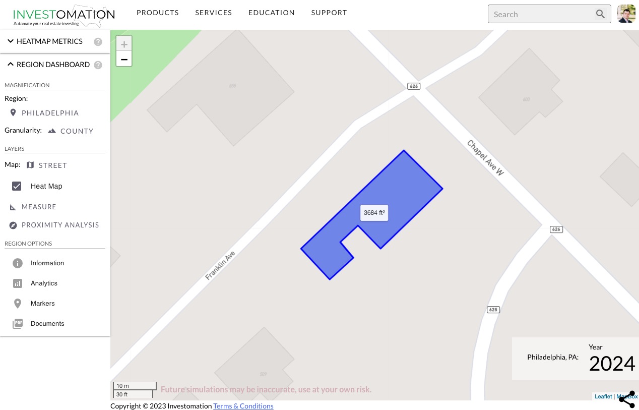
The tool can be used to measure distance between two points, a path, or even an area. When you start the measurement, you will see a ruler with a small circle at each end. 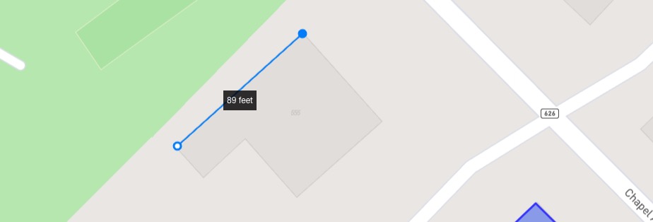 Clicking on the circle at the end of the last segment will stop the measurement, creating a path with the total distance. Clicking on the circle at the beginning of the first segment will close the path, creating an area with a measurement in square feet or acres, depending on size. Clicking anywhere else on the map will start a new segment, allowing you to measure complex paths or areas.
The ruler automatically adjusts based on the distance, allowing you to measure long and short distances, as well as small areas (such as the footprint of a building) or large lots. Similar to proximity analysis, you can use this tool in creative ways to analyze both your property as well as competitors. One example is measuring the square footage of nearby self-storage facilities to understand their capacity.
